

- Block-C, Office-M33, Floor-M Arabilla Building, Hor Al Anz, East Deira, Abu Hail, Dubai-UAE
- +971566984701
- [email protected]
ArcGIS Pro
Product Highlights
Features:
- Create high-quality maps with various basemaps, symbols, and labeling options.
- Perform advanced cartographic techniques like graduated symbols, heatmaps, and density maps to visually represent spatial patterns.
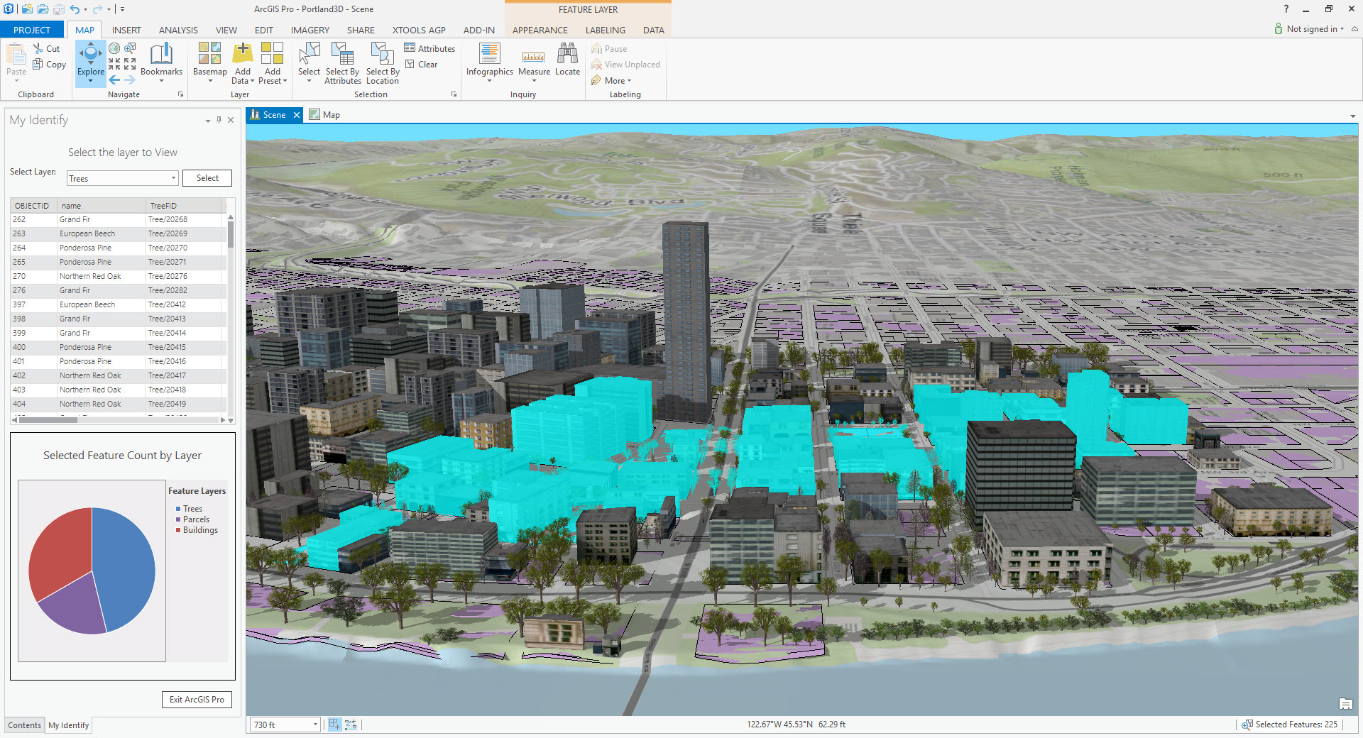
- Explore 2D and 3D data visualizations to gain deeper insights from your geospatial information.
- Import, manage, and edit various geospatial data formats like vector shapes, rasters, and geodatabases.
- Powerful geoprocessing tools allow you to analyze spatial data, perform calculations, and automate workflows.
- Tools for spatial queries and selections to filter and extract specific features based on your criteria.
- Extensive suite of tools for advanced spatial analysis, including proximity analysis, network analysis, and overlay operations.
- Analyze relationships between features and identify spatial patterns.
- Tools for suitability modeling and site selection to support decision-making processes.
- Share maps and data through ArcGIS Online or create web maps for broader audience access.
- Collaborate with others on projects in real-time using online collaboration features.
- Export maps and data in various formats for integration with other tools and reports.
- Extend ArcGIS Pro functionalities through Python scripting and ArcPy (ArcGIS API for Python).
- Automate repetitive tasks and create custom tools using Python.
- Integrate ArcGIS Pro with other software through scripting for a more comprehensive workflow.
Technical Specifications
Downloads
Technical Specifications
| Licence Type | Annual License |
|---|---|
| Licensing Options | Individual License |
| Interfacing with External Languages | ArcGIS Pro offers a few ways to interface with external languages, allowing you to extend its functionalities or leverage specialized tools written in other languages. The main approaches are Python Scripting, ArcGIS API for Python (ArcPy), COM (Component Object Model) Interop, Script Tools with External Languages. |
| Documentation and Support | ArcGIS Pro offers extensive documentation and support resources to help you learn and use the software effectively. |
Downloads
ArcGIS Pro