Features:
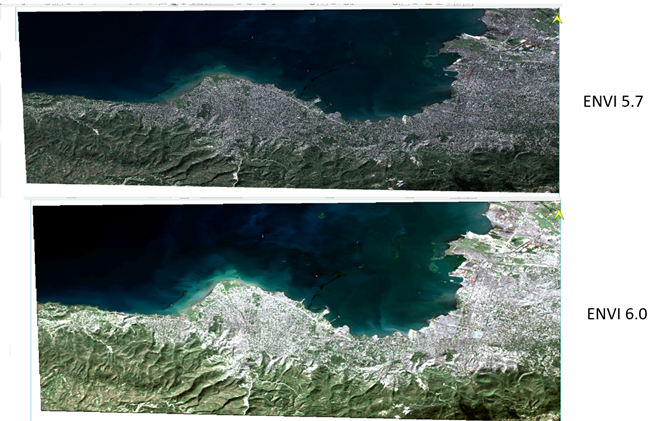
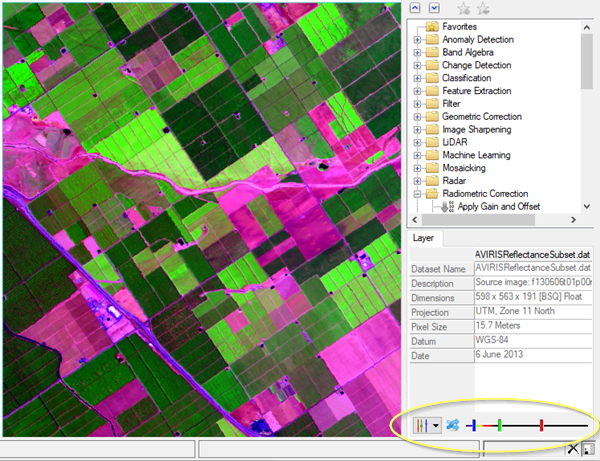
- Data visualization, processing, and analysis: ENVI offers a suite of comprehensive data analysis tools for various tasks, including data calibration, pre-processing, atmospheric correction, pan sharpening, orthorectification, and image registration.
- Automated workflows: ENVI features automated workflows that simplify complex tasks and help users efficiently and accurately extract information from all types of geospatial data. These workflows include: * Anomaly detection: Search an image for statistical and spectral distinctions from the background landscape. * Change detection: Look for areas of change by comparing the differences between two images. * Classification: Classify terrain automatically or with user-defined specifications. * Thematic change: Perform change detection between two classification results.
- Spectral analysis: ENVI includes a range of spectral analysis tools to aid in identifying and classifying features in imagery based on their spectral characteristics.
- Geospatial modeling and analysis: ENVI has functionalities for geospatial modeling and analysis, including tools to: * Extract topographic features: Generate digital elevation models (DEMs) from imagery.
* Topographic modeling: Create 3D models of terrain. * Topographic shading: Enhance visualization of topography in imagery. - Report generation: ENVI allows you to generate reports of your findings and analysis results to easily share them with colleagues or stakeholders.


